SIGNIFICANT MILESTONES FOR ST PAUL MALMESBURY WITHOUT PARISH
c. 1840
StPMW parish was not established. The land was divided between a Malmesbury parish and a Westport parish
1886
Malmesbury Borough was created at the expense of the Malmesbury Parish
1894
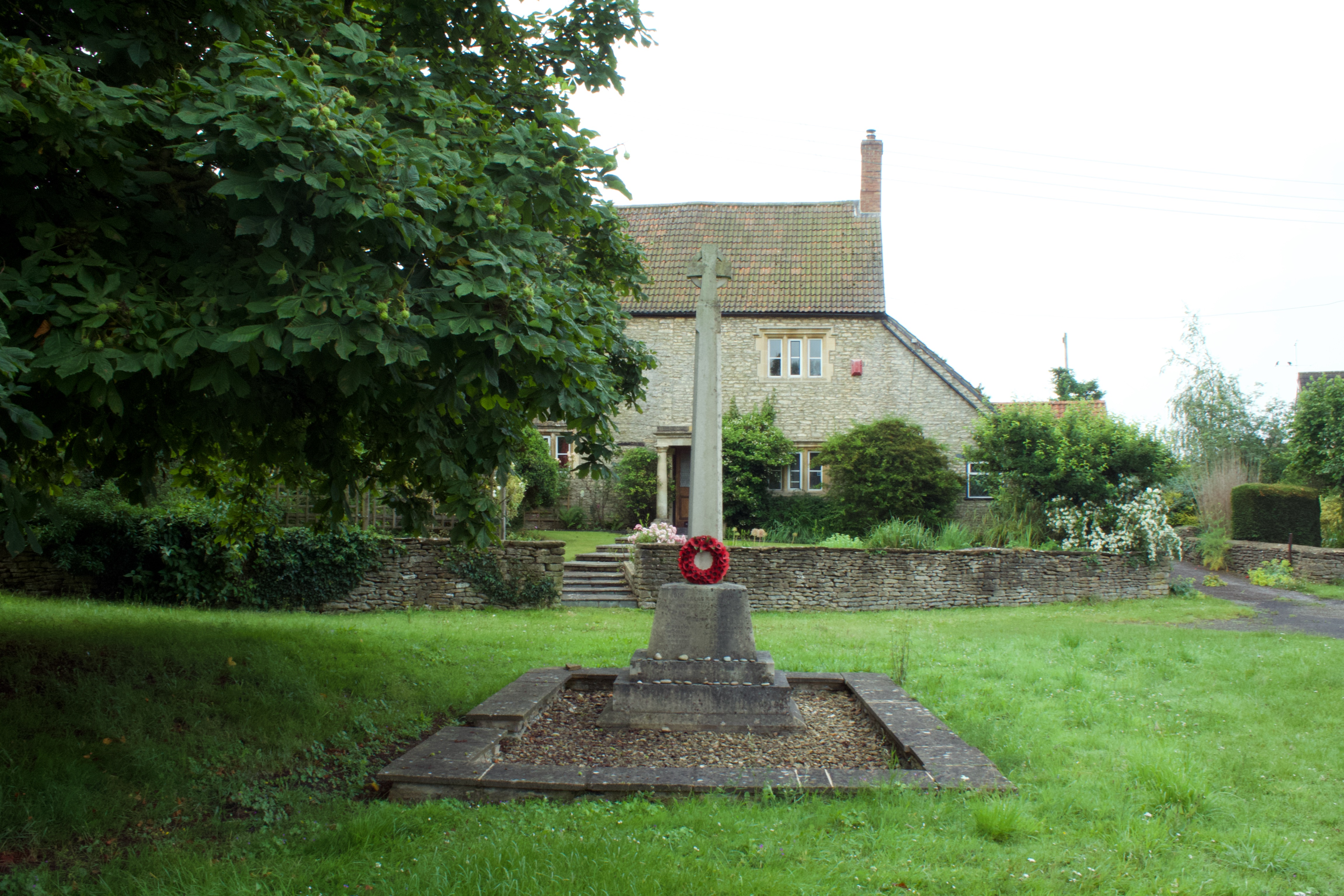
The reduced part of Malmesbury parish was renamed St. Paul Malmesbury Without parish. The name originates from the Malmesbury church of St. Paul, of which only the west tower now remains
1896
All of Westport parish outside Malmesbury borough is transferred to St Paul Malmesbury Without parish.
1937
RAF Hullavington opens
1939
EKCO establishes a ‘shadow factory’ at Cowbridge and specialises in the top secret development and production of new radar systems used in WW2
1956
The built up area of StPMW parish adjacent to Malmesbury transferred to Malmesbury
1973
Malmesbury by-pass constructed
1984
Malmesbury boundary extended, at the expense of StPMW parish to follow the by-pass, along Filands Road past its Tetbury Hill junction and south via Park Lane to the junction with the Sherston Road; this tripled the area of the town
2003
RAF Hullavington renamed Buckley Barracks after a VC hero
2008
Primary Care Centre opened by HRH Prince of Wales
2009
Major housing development at Cowbridge commences
2011
Malmesbury Town, Brokenborough parish and St Paul Malmesbury Without parish councils combine to work on a Neighbourhood Plan restricting the developer led planning of previous years.
2014
The Neighbourhood plan is formally agreed at a referendum with a 90% yes vote.